Contenido de este artículo 🧭
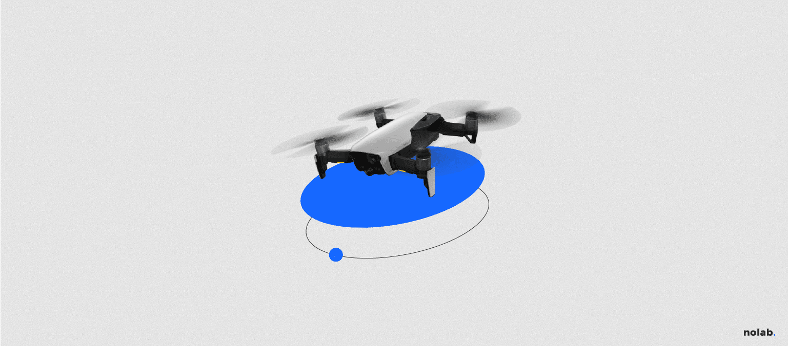
ToggleNowadays, you have probably heard of “Drones” or UAVs (Unmanned Aerial Vehicle), originally created for military operations, are now available for civilians. The applications of these civilian UAVs or drones are increasing. From the prevention of forest fires, border surveillance, control of large industrial infrastructures such as oil pipelines or surveillance and control tasks in catastrophic areas where a conventional aircraft would put the lives of its crew at risk. But what functions can these unmanned robots have in architecture and construction?
Drone functions.
The functions that can be given to a drone are many and the more technology advances, the more possibilities there will be.
- Design: Let’s say you are interested in an elevation with incredible views of the city. A drone can capture accurate views from any height and in any direction. You can capture high-resolution photos for the super-detailed site plan . Using new photo-mapping software such as Pix4D, you can create accurate 3D models of your current site and adjacent buildings. This model can be used to extract topographic maps, quality plans from a site or an accurate 3D model that can be imported into preferred modeling software that can be used as the basis for conceptual models, renderings, 3D prints and a host of other applications.
- Construction: As construction begins on a project, you can capture in aerial videos and photos the progress. It’s easy, fast and inexpensive. There is no need to use photographers on manned aircraft which is time consuming, costly and polluting. Unlike manned aircraft, drones can capture videos along with photos from any height, angle, with much more detail and all within a few minutes. Drones are also excellent for inspecting hard-to-reach places quickly and safely.
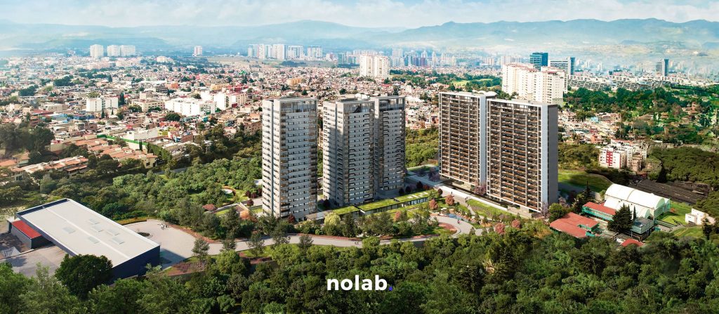
- Completed Projects and Marketing: Once the project is completed, the drones can highlight various features of the building or development. Aerial photos of the site can explain how its design fits within the larger context. Showing the entire construction from different elevated angles can help explain the shape and design. In addition, videos can be taken from ground level to aerial views of the building where you can see in detail its size, shape, materiality, circulation and give a general introduction to the building.
The South Puget Sound Community College Building 22 is a great example of the benefits UAVs can give you for documenting the final construction.[rs_media media_type=”vimeo” v_id=”120085505″]Through the drone documentation it was possible to see details of the lighting and other elements of the construction from another perspective, something that could not have been achieved with current techniques. It is clear that this new technology will have a major positive impact on the design and construction industry. While UAV technology is growing and developing at a rapid pace, its implementation has been slow due to a lack of standards, regulations and clarity on how this technology can be used.
The Future of Drones in Architecture
Drones in the future will go beyond aerial shots. They will be able to function without human control. They will be programmed to perform functions by themselves without the intervention of human hands. A team of scientists has demonstrated that a coordinated group of pre-programmed autonomous drones can do the work of construction workers, the video shows the construction of a six-meter tower without any human intervention. Architects say this new technology paves the way for new methods for the architecture of the future. It will be more efficient, safer and faster. While this technology still needs to be developed further, here we see that it is already starting to be developed. It will be a matter of a few years before the technology starts to be used.
Mexican laws and regulations for the use of drones
The Ministry of Communications and Transportation (SCT) updated the criteria that regulate the operation of drones in order to preserve the safety of the public and the operators of these aircraft.
The document establishes limitations on the use of unmanned drones (called Remotely Piloted Aircraft Systems, RPAS) according to their weight, but includes limitations valid for all equipment.
It details that regardless of weight, they can only be operated during the day, in areas not classified as prohibited, restricted or dangerous, and at least 9.2 kilometers from controlled airports, 3.7 kilometers from uncontrolled airfields, and 900 meters from heliports.
In addition, these aircraft must not drop objects that could cause damage to persons or property.
The circular distinguishes three types of drones: up to two kilograms in weight, over two to 25 kilograms, and over 25 kg. In all three cases, operators, whether individuals or legal entities, are required to comply with all applicable federal and local laws, regulations and standards.
In a press release, the SCT detailed that only aircraft weighing less than two kilos can be operated without requiring authorization from the General Directorate of Civil Aeronautics (DGAC), but if they are used for commercial activities, they must have third-party damage insurance, among other conditions.
As for those weighing more than two kilos, when their use is recreational, they can only be used within model airplane clubs.
Those for commercial use require authorization from the DGAC. The limitations are even more specific for operating aircraft weighing more than 25 kilograms, which can only fly under the terms and conditions authorized by the DGAC, in addition to the fact that their operator must have a pilot’s license.
Source: http://www.informador.com.mx/mexico/2015/589238/6/la-sct-establece-reglas-para-el-uso-de-drones.htm
We offer aerial filming technology for your projects. Would you like to hire us? Contact us now at hola@nolab.mx
By Alfredo Obregón


